
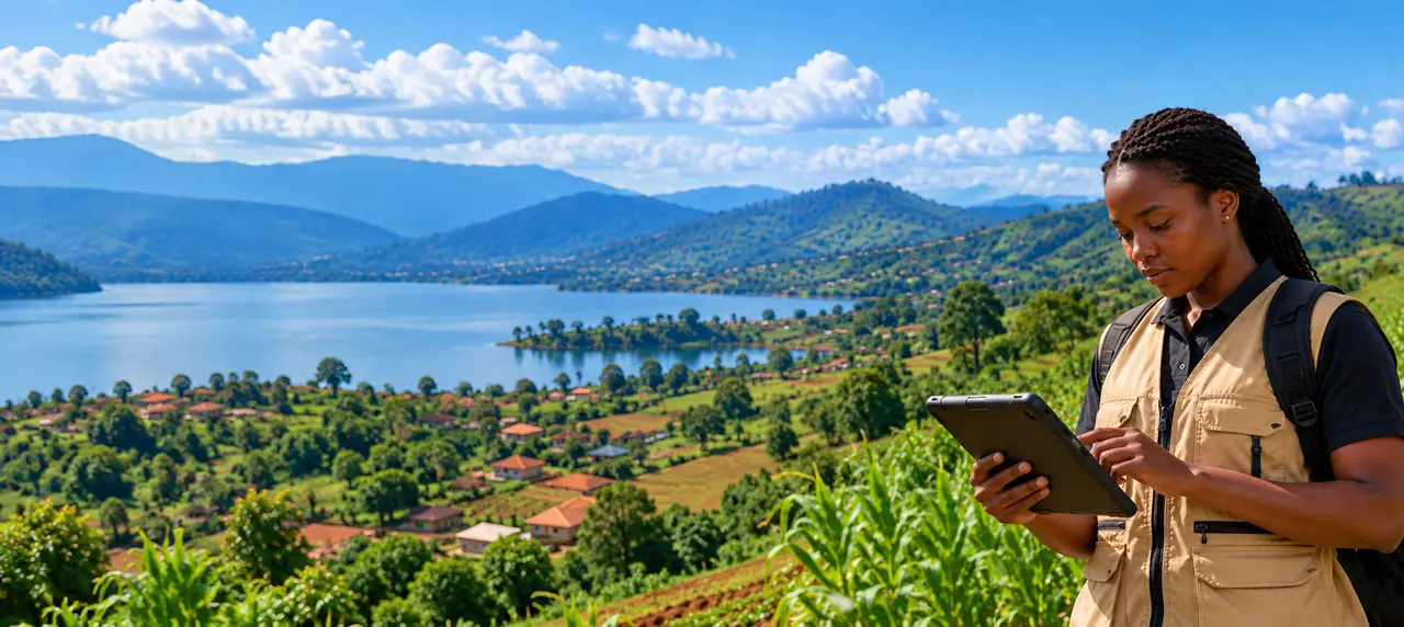
Field data. Real impact.
Reliable field evidence for better development decisions.
Boldtive provides field research, independent data verification and monitoring data to help development organisations make evidence-based decisions.
- Field studies
- Verification
- Data audits
- Geospatial
- Reporting
What we do
Field evidence for programmes, end to end
One team from the first question to the delivered dataset, rather than a chain of subcontractors who each blame the last.
Baseline, midline and endline studies
Field studies built around your indicators and sampling, repeated with the same instrument so the rounds can be compared.
Independent verification and data audits
A random sample of a dataset you already hold, checked in the field and reported with a confidence range.
Monitoring data for MEL teams
Programme monitoring data collected and quality-checked against the indicators and definitions you set.
Beneficiary and service-delivery verification
On-site checks that the people, facilities and activities in your reports are there as recorded.
Geospatial surveys and asset mapping
Verified locations for facilities, service points and plots, including cooperative plot registries and EU deforestation-regulation evidence.
Analysis, dashboards and reporting
Written findings that state their own limits, dashboards your team can open, and the data behind both.
How verification works
Every record has a documented quality trail.
Each record passes through the same four steps, and the decision at each one is recorded against a name. The checks exist to catch problems early. They do not guarantee that every record is correct, which is why every decision can be traced and reviewed.
- Step 1
Collected in the field
A trained collector records the observation on site. Every submission carries a GPS point, a photograph and a timestamp.
- GPS point
- Photo
- Timestamp
- Collector identity
- Step 2
Checked automatically
Each record runs through a set of quality checks. A flag never blocks a record on its own; it tells the verifier where to look.
- GPS outside the stated area
- Quantity far from the local norm
- Possible duplicate submission
- Missing photograph
- Step 3
Verified by a named person
A verifier opens the record, reviews the flags and the photograph, and approves or rejects it. A rejection carries a reason.
- Named verifier
- Decision recorded
- Reason on rejection
- Full audit trail
- Step 4
Retired when it goes stale
Field data decays. Each record carries an expiry set by what it describes, and leaves the live dataset when it reaches it.
- Expiry set per record type
- Automatic retirement
- History kept, never overwritten
Evidence for accountability
From a programme question to a decision you can defend
Data is only useful if it answers the question the programme is actually asking. Every engagement follows the same line from that question to the decision it informs.
- 1
The question
What the programme needs to know: whether services reached the people they were meant for, how an indicator has moved since baseline, or whether reported activities happened.
- 2
The method
The indicators, sample, instrument and field protocol agreed with you before anyone goes to the field.
- 3
The verified dataset
Records collected, checked and approved, delivered with the quality documentation that shows how they were checked.
- 4
The decision
A report that sets out what the data supports and where it stops, in a form your team can take to management, a board or a donor.
We report what the data shows. A claim about impact or cause needs an evaluation design that supports it, and we say plainly when one is not in place.
Sectors we can cover
What we can go and find out
These are capabilities, not a catalogue of datasets sitting on a shelf. Agriculture is where our pilot is running; development programme monitoring is where we are putting our effort next. The rest are studies we can design and run on request.
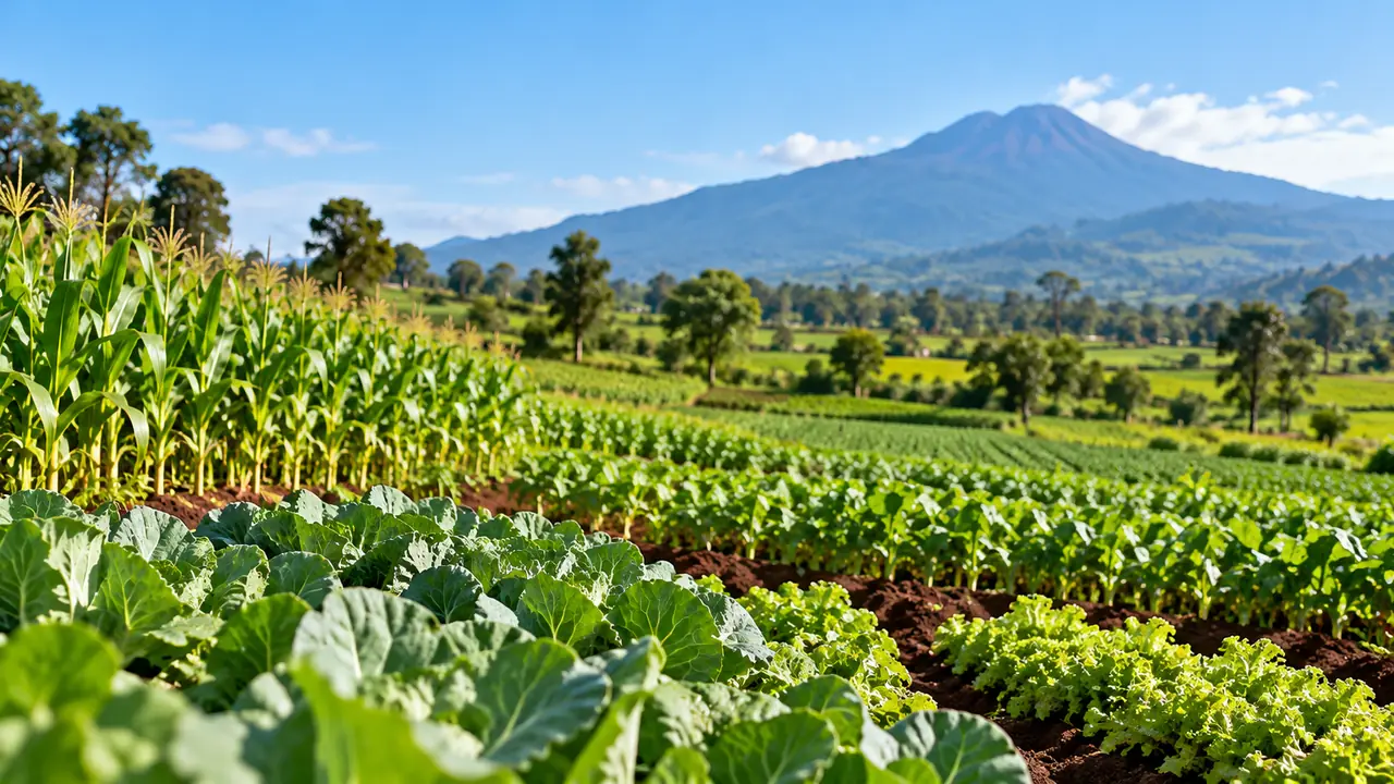
Agriculture and food systems
Field verification of crop availability, volumes, quality grades and farm-gate prices.
Live pilot running.
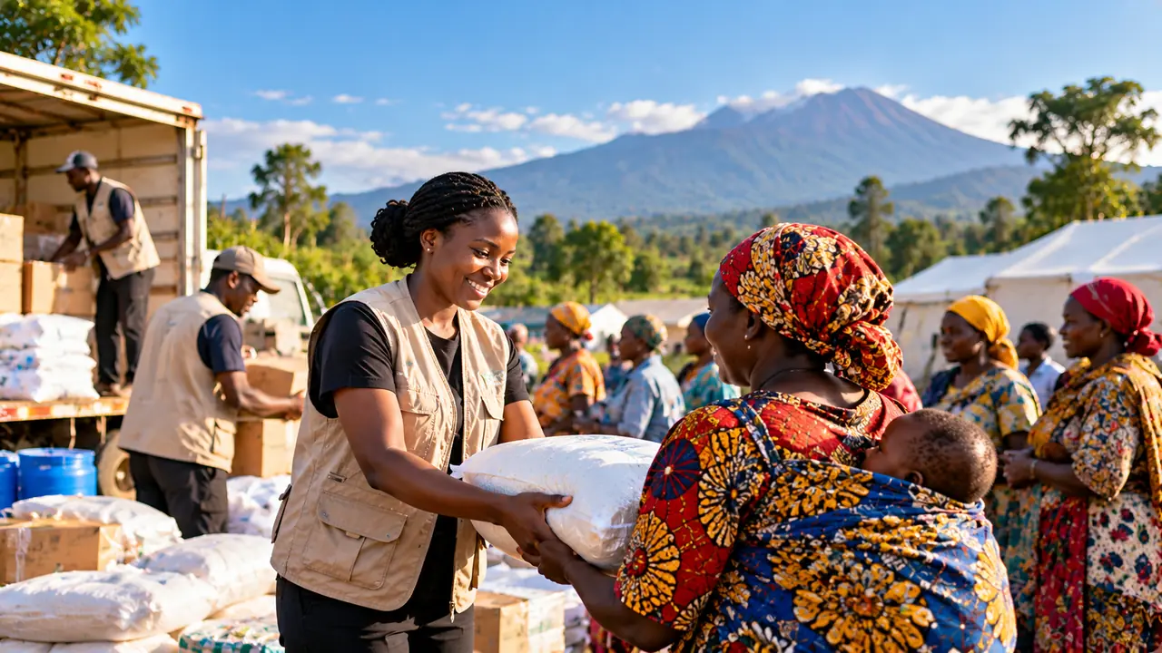
Development and humanitarian
Baseline, midline and endline data, monitoring data and beneficiary verification.
Priority area. Collected on request.
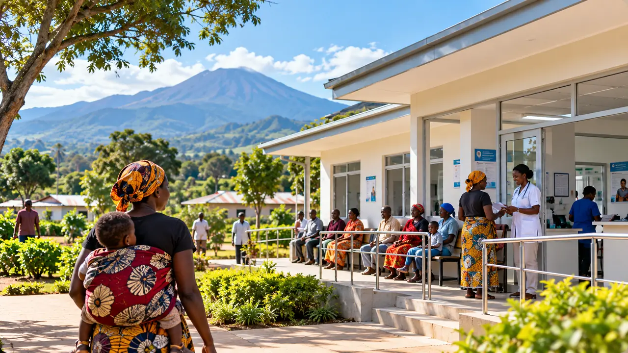
Health and public services
Facility readiness, service availability, stock verification and access surveys.
Collected on request.

Social and demographic
Household surveys, livelihoods and access to services.
Collected on request.
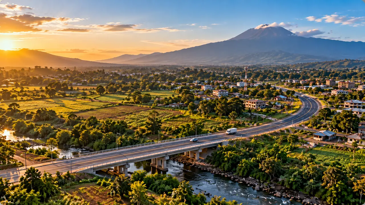
Infrastructure and geospatial
Facility mapping, asset verification and accessibility studies.
Collected on request.

Business and market intelligence
Retail audits, price monitoring, stock availability and distribution mapping.
Collected on request.
The agriculture pilot runs in Arusha, Tanzania, where the full pipeline is in production today. Burundi is where the company is building, and no collection has started there yet.
How you receive it
Delivered the way your team actually works
Reports and dashboards
The analysis written up, and a live view your team can open.
Data exports
The verified records themselves, in a format your analysts already use.
REST API
Query the dataset from your own systems, with keys, limits and metering.
MCP for AI assistants
An assistant queries authorised data under the same keys and limits.
Have a question only field data can answer?
Tell us what you need to know and where. We will tell you what it would take to find out.