
Services
From the first question to the delivered dataset
Eight services that fit together. Most engagements start with fieldwork and end with a report, but the dataset can keep working long after that, and the checking can be applied to data you already hold.
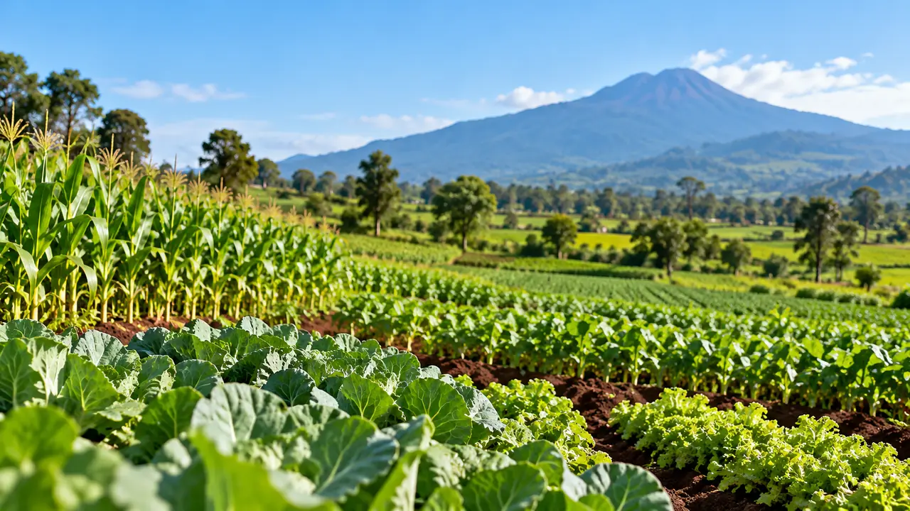
Field data collection
We turn a question into an instrument, put trained people in the field with it, and bring back records that can be checked.
What is included
- Study design: what to ask, of whom, where, and how often
- Instrument build, including skip logic and controlled vocabularies
- Collector recruitment, training and equipment
- Offline-capable collection, so patchy connectivity does not stop work
- Supervision, spot checks and field escalation
What you get
- A dataset where every record carries GPS, a photograph and a timestamp
- The instrument itself, documented, so the study can be repeated
- A fieldwork report covering coverage, refusals and anything that went wrong
Who it is for. Organisations that need primary data about a place, and need to be able to defend how it was gathered.
Data management and quality
Collection is the easy half. What makes a dataset usable is the part that happens after the record arrives.
What is included
- Automatic checks on every submission: location, outliers, duplicates, missing media
- Human verification, with a named person approving or rejecting each record
- Rejection reasons recorded, so patterns in collector error become visible
- Expiry rules per record type, so stale data leaves the live set
- Full audit trail, never overwritten
What you get
- A dataset you can put your name to in a report or a board paper
- The ability to answer "who checked this, and when" for any single record
- Quality statistics across the fieldwork, not just the clean output
Who it is for. Anyone who has been handed a spreadsheet and had no way to tell which rows to trust.
Independent data audit
You already hold a dataset that someone else collected. We check a random sample of it in the field and tell you how much of it holds up.
What is included
- A random sample drawn from your dataset, with the seed recorded so the draw can be repeated
- About 385 records for a large dataset, which gives a 95% confidence level and a margin of 5 points, and fewer for a small one
- Each sampled record revisited by a field auditor and marked confirmed, different from what was recorded, not found, or unreachable
- Only the sampled records are kept in our system. The rest of your file is not stored
What you get
- A confirmation rate with a 95% range around it, not a single reassuring number
- Records nobody could reach reported separately, so you can see how many were checked and how many were not
- Every discrepancy listed row by row, with what the auditor found instead
Who it is for. Funders, programme managers and buyers who rely on data from partners and want to know how far to trust it.
Plot and cooperative registry
A cooperative's land, recorded once and recorded properly: where each plot is, how big it is, who agreed to it being recorded, and who checked.
What is included
- A GPS point for every plot, and a boundary polygon for any plot of 4 hectares or more
- Area calculated from the boundary where one is drawn, not estimated by eye
- A consent record for the cooperative, which can be withdrawn
- Each plot reviewed by someone other than the collector who mapped it
- A short code for every plot, so a lot can be traced without using a farmer's name
- Every change logged and never overwritten
What you get
- A register the cooperative can use for each harvest instead of mapping its land again every season
- Plots identified by code, so farmers' names and phone numbers stay out of what buyers see
- A record of consent you can show if anyone asks
Who it is for. Cooperatives, and the exporters who buy from them, where plots are small and nobody has mapped them before.
Deforestation-regulation evidence
EU buyers of coffee, cocoa and other covered goods have to show where those goods were grown. We turn a registered lot into the geolocation file they start from.
What is included
- A lot of one crop from one cooperative, with a harvest window and a quantity
- Every plot in the lot linked to it, with its share of the quantity where that is known
- A geolocation file with a point for each plot under 4 hectares and a polygon for larger ones, to six decimal places
- A refusal in place of a gap: if any plot is unverified, has no consent or lacks a boundary it needs, no file is produced and we say which plot
- Every file stored exactly as it was sent, so a buyer's question months later has an answer
What you get
- A GeoJSON file, a format that common mapping and compliance tools can read
- The evidence behind each location: who mapped it, who checked it and what consent covers it
- A clear line between what we supply and what stays with you
Who it is for. Exporters and cooperatives selling to EU buyers, and EU importers who need plot-level data from smallholders they cannot visit themselves.
Analytics and reporting
The dataset is the means. The decision is the point. We write up what the data supports, and say plainly where it runs out.
What is included
- Descriptive analysis and cross-tabulation against your questions
- Geospatial analysis and mapping at administrative-area level
- Written reports in English or French
- Dashboards your team can open without asking us first
What you get
- A report that states its own limits, including sample and coverage
- The underlying figures, so your analysts can check the work
- Charts and maps you can lift straight into your own documents
Who it is for. Programme teams, M&E units and anyone who has to present findings to people who will ask hard questions.
Data API and integrations
When the data matters more than once, a report is the wrong shape. The API puts verified records where your systems already are.
What is included
- REST endpoints over the verified dataset
- API keys you issue and revoke yourself
- Per-key rate limits, with the state returned on every response
- Usage metering, visible to you in the client portal
- Pagination, filtering and summary endpoints
What you get
- A live connection instead of a monthly file by email
- A client portal to manage keys and watch usage
- Documentation written against the endpoints that actually exist
Who it is for. Teams building a product, a dashboard or a model that needs current field data.
MCP and AI access
An AI assistant can query authorised data directly, under the same permissions and limits as any other client.
What is included
- A Model Context Protocol endpoint over the same dataset
- One-step sign-in from Claude or ChatGPT, or an API key, with the same rate limits as the REST API
- Every call logged against the key that made it
- Tool descriptions written so an assistant asks the cheap question first
What you get
- Analysts who can ask questions in plain language and get sourced answers
- No separate export to send around or keep in sync
Who it is for. Teams already working with AI assistants who want them grounded in reviewed field data rather than guesswork.
Tell us what you need to know
Pricing depends on the dataset and the engagement, so there is no table to read. Describe the question and we will tell you what it would take to answer it.